How Does GPS Know Exactly Where You Are For UK Families
How does GPS know exactly where you are? Satellites, atomic clocks and clever trilateration maths explained simply for curious UK families. Read more.
Tap the blue dot in your maps app and within seconds your phone knows where you are — not to the nearest town, but to the nearest few metres, anywhere on Earth, in any weather, for free. It feels like magic, but GPS is one of the most elegant engineering systems ever built: a constellation of satellites carrying atomic clocks, each broadcasting the time with nanosecond precision, combined with a receiver doing some beautiful high-school geometry at the speed of light. Here is how it actually works.
The Constellation Above You
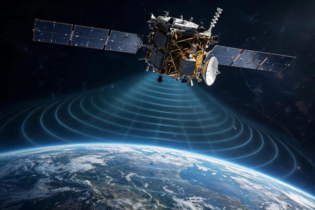
GPS (Global Positioning System) is operated by the United States and consists of at least 24 satellites orbiting at roughly 20,200 km altitude, arranged so that at least four are visible from any point on Earth at any time. Each satellite continuously broadcasts two things: its precise position in orbit, and the exact time from its onboard atomic clock — accurate to within billionths of a second.
Your phone does not transmit anything to the satellites; it only listens. That is why GPS works without mobile signal, in aeroplane mode, in the middle of the ocean. The satellites are essentially ultra-precise clock towers in the sky, shouting out the time, and your receiver does all the clever work. Europe operates its own equivalent, Galileo, and most modern phones listen to GPS, Galileo, Russia’s GLONASS and China’s BeiDou simultaneously for better accuracy.
Trilateration: Ranging by Time
The core trick is beautifully simple. Radio signals travel at the speed of light — about 300,000 km per second. If your receiver knows exactly when a satellite sent its signal and exactly when it arrived, the time difference multiplied by the speed of light gives the distance to that satellite. A signal that took 0.07 seconds to arrive came from about 21,000 km away.
Now the geometry: if you know you are 21,000 km from satellite A, you could be anywhere on a vast sphere around it. Add satellite B — you are somewhere on the circle where the two spheres intersect. Add satellite C — the circle narrows to two points, one of which is usually absurd (deep in space or inside the Earth), leaving your position. This is trilateration (not triangulation — no angles are measured, only distances).
In practice a fourth satellite is essential, because your phone’s clock is nowhere near as precise as the satellites’ atomic clocks. Even a microsecond of receiver clock error translates to 300 metres of position error. The fourth satellite’s signal lets the receiver solve for its own clock error as an extra unknown — four satellites, four unknowns (latitude, longitude, altitude, time correction). More satellites beyond four keep improving accuracy by averaging out errors.
Why It Is Accurate to Metres, Not Kilometres
Raw trilateration would only get you within tens of metres, so GPS layers on corrections for a zoo of error sources. The biggest is the atmosphere: signals slow slightly passing through the ionosphere and troposphere, and receivers model this delay using data the satellites broadcast. Then there is Einstein: satellites’ clocks tick faster than Earth’s because of weaker gravity (general relativity) and slower because of their orbital speed (special relativity) — the net effect is about 38 microseconds per day, which would cause 10 km of daily position drift if uncorrected. The system is literally designed around relativity; GPS is the most practical proof that Einstein was right.
Your phone adds more tricks: assisted GPS downloads satellite orbit data over the internet so it locks on in seconds rather than minutes; it blends GPS with Wi-Fi positioning, mobile tower triangulation and motion sensors when satellite signals are weak (urban canyons, indoors); and modern dual-frequency receivers use two GPS frequencies to cancel most ionospheric error directly. The result: 3–5 metres typically, under a metre with the newest chips in open sky.
All of this echoes how other everyday tech quietly works — if you enjoy this kind of explainer, how voice assistants understand speech reveals a similarly elegant system hiding behind a simple interface, and AI’s role in everyday life shows how much invisible computation your phone performs daily.
GPS Is About Time More Than Maps
Here is the twist most people miss: GPS’s most valuable product is not location — it is time. Those atomic clocks in orbit provide extraordinarily precise timing to anyone with a receiver, and modern civilisation quietly depends on it. Mobile phone networks synchronise their towers using GPS time; financial markets timestamp high-frequency trades with it; power grids use it to coordinate the grid across continents. If GPS went down tomorrow, navigation apps failing would be the least of our problems — banking, telecoms and electricity distribution would all feel it within hours.
This dependence is why governments treat satellite navigation as critical infrastructure, and why Europe built Galileo and Britain has explored its own system after leaving the EU’s programme. The blue dot on your map is the visible tip of an invisible utility as fundamental as the electricity grid — a constellation of clocks in the sky, keeping the modern world synchronised to the nanosecond.
What Can Go Wrong
GPS is remarkably reliable but not infallible. Signals are extremely weak by the time they reach Earth — about as faint as viewing a 25-watt bulb from 20,000 km — so they are easily blocked by buildings, dense tree cover, tunnels and even heavy rain. Deliberate interference happens too: jamming (overwhelming the signal with noise) and spoofing (broadcasting fake signals) are documented around conflict zones and have affected civilian aviation and shipping.
For everyday use, the practical advice is simple: give your phone a clear view of the sky for the fastest lock, download offline maps before remote trips (your phone’s GPS works without data, but the map tiles do not download themselves), and carry a backup — a paper map, a charged power bank, or simply the habit of noting landmarks. Turning location services off does not make you untraceable, either — apps and networks have other ways of estimating position. The official US government’s GPS resource and the European Space Agency’s Galileo pages offer authoritative deeper reading.
Frequently Asked Questions
Does GPS work without internet or mobile signal?
Yes. Your phone only receives satellite signals — it never transmits to them. Positioning works in aeroplane mode in the middle of nowhere. What needs internet is downloading the map itself and the assisted-GPS data that speeds up the first fix.
Why is my phone’s GPS inaccurate in cities?
Tall buildings block direct satellite signals and create reflections — the signal bounces off a building and arrives late, making your phone think the satellite is further away. This “multipath” error is worst in urban canyons; phones compensate by blending Wi-Fi and sensor data.
How accurate is phone GPS?
Typically 3–5 metres in open sky, sometimes under a metre with modern dual-frequency chips. Accuracy degrades indoors, under dense tree cover, and in cities. It is plenty for navigation but not for surveying.
Is GPS free to use?
Yes — the US provides the civilian GPS signal free worldwide as a public good, and Europe’s Galileo is similarly free. You are already paying for it through the phone you bought; there is no subscription.